Functions of SoP
Functions of SoP
- To delineate international borders, demarcate and relocate border pillars
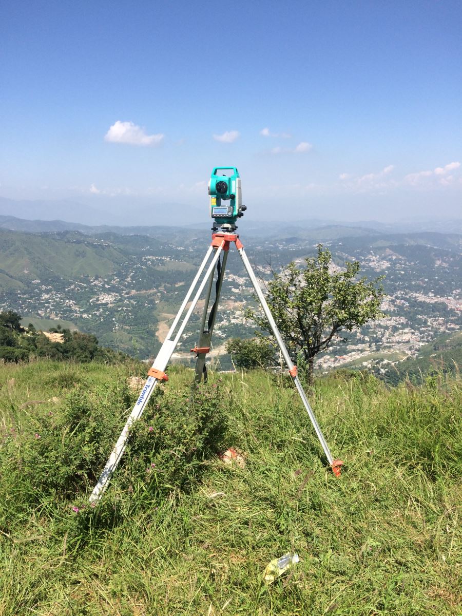
- To carry out topographical survey, updation and printing of topo sheets of National map series on scale 1:50,000
- To provide geodetic control, heights and geographical positions all over Pakistan.
- To compile derived maps on scale 1:250,000, 1:500,000, 1:1,000,000, 1:2,000,000, ICAO charts on scale 1:1,000,000
- To generate maps on any scale through aerial photography and remote sensing through analytical and digital methods
- To develop GIS for Govt, Semi Govt Departments/Organization/Private Sector according to their requirements on payments
- To survey and prepare cantonment areas maps
- To prepare and print guide maps, road maps and tehsil maps for the entire country
- To train departmental employees and potential candidates from private sector in Survey Training Institute in various disciplines of surveying and mapping at certificate and diploma level