
Stakeholders Coordination Conference on National Geospatial Data Standards
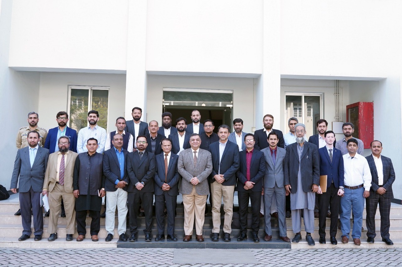
Survey of Pakistan (SoP) convened a Stakeholders Coordination Conference at its Headquarters on 11 November 2025, chaired by the Surveyor General of Pakistan. The conference was attended by technical representatives of a large number of key stakeholders including Ministry of Foreign Affairs (MoFA), Economic Affairs Division (EAD), Ministry of IT & Telecommunication (MoIT&T), Pakistan Telecommunication Authority (PTA), SUPARCO, Geological Survey of Pakistan (GSP), Pakistan Meteorological Department (PMD), NDMA, WAPDA, Institute of Space Technology (IST), NUST and others. SoP had previously worked on finalizing the list of Pakistan’s National Geospatial Data Standards which was shared with all key stakeholders some weeks back. The purpose of this coordination conference was to finalize these Standards so that all public and private entities dealing with geospatial data in the country adopt these soon-to-be-released Standards for generation of their respective geospatial data in future. Rolling out of these Standards will be the first key milestone in development of Pakistan’s National Spatial Data Infrastructure (NSDI) – a national initiative being spearheaded by SoP. These standards, based on ISO, OGC and other internationally recognized frameworks, will ensure the interoperability, quality and consistency of geospatial data produced across Pakistan, aligned with UN-GGIM guidelines and UN-IGIF. A comprehensive presentation on the proposed list of 105 geospatial data standards was delivered by SoP’s Director NSDI, followed by an interactive Q&A session. Stakeholder feedback, including detailed and valuable input from NADRA Headquarters, was reviewed and incorporated. All participants endorsed the proposed standards and they were requested to provide details of their existing geospatial datasets to SoP by 15 November 2025 to facilitate the creation of a National Geospatial Data Inventory, aimed at reducing duplication of efforts and promoting data sharing across ministries/ departments/ institutions. Surveyor General emphasized the strategic importance of NSDI in national development and policy-making for Pakistan wherein the adoption of National Spatial Data Standards marks a pivotal step towards ensuring data compatibility and enabling the creation of a unified geospatial ecosystem across Pakistan. The conference concluded with a commitment from all participating organizations to actively collaborate with SoP in implementing the finalized National Geospatial Data Standards nationwide and in development and operationalization of Pak-NSDI. Pak-NSDI SoP is working earnestly for development of Pak-NSDI, having secured approval of its Proposed Framework and Roadmap from our Ministry. SoP established its NSDI Task Force on 12 Sep 2025, earmarked SoP’s NSDI Team Leads and has started work concurrently on all nine NSDI Strategic Pillars specified in the Proposed Framework (these are almost the same as the nine Strat Pathways of UN-IGIF). Currently, SoP is in the process of drafting the NSDI Strategy document and suggested composition and TORs of NSDI Steering Committee whose completion is expected by end-Nov 2025. On approval of NSDI Strategy by the Government, further policy, legal, financial and other aspects will be pursued in order to expedite the process. In the meanwhile, SoP has embarked upon its Domestic and International Outreach Program to raise awareness of NSDI in Pakistan, and also to foster collaborations with international partners in due course. Doubling down on our efforts, SoP aims to hold a one-day National Workshop on NSDI in Islamabad tentatively in end-Dec 2025 in which a wide spectrum of public and private sector stakeholders and users of NSDI will be invited.