
Visit to Mari Energies Limited (MEL)
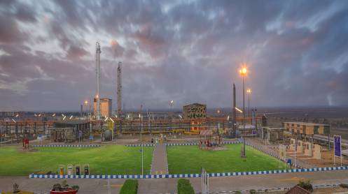
Team SoP, led by Surveyor General of Pakistan, visited MEL on 16 January 2026 to discuss the proposed Integrated Geospatial Intelligence Project for MEL Operations as part of strategic technical collaboration between both organizations. The proposed project aims at providing authoritative, accurate and secure geospatial intelligence and mapping support for MEL’s exploration, production and pipeline operations. Incorporation of advanced technologies including UAV photogrammetry, LiDAR surveys, Digital Elevation Models (DEMs) and Enterprise GIS platforms was also discussed which can enable the company in improving its operational planning and decision-making thus resulting in optimized cost-effective operations and enhanced revenue for MEL. During the meet, Team SoP also suggested development of 3D Digital Twin models for MEL’s energy infrastructure and setups in the country which can prove very beneficial for the company in future. Possibilities of both organizations entering into long term collaboration was deliberated upon including structured capacity-building program for MEL’s technical staff. The meeting concluded with a shared commitment to strengthen collaboration in a bid to align the geospatial capabilities of SoP with operational requirements of a major player in Pakistan’s energy sector